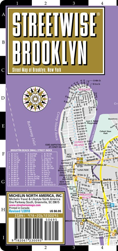
REVISED 2018 Streetwise Brooklyn Map is a laminated city center map of Brooklyn, New York. The accordion-fold pocket size travel map has integrated subway station locations. A complete index of streets, points of interest, education, culture, transportation and parks is clearly listed. Coverage includes: Main Brooklyn Map 1:38,000 Downtown Brooklyn Map 1:12,500Dimensions: 4" x 8.5" folded, 8.5" x 32" unfolded One of the five boroughs of New York, and one of the largest cities in America, Brooklyn used to be a hot destination for young multicultural hipsters looking to hit on new restaurants, galleries and housing. It still is for the most part, but sections of Brooklyn rival Manhattan in terms of skyrocketed real estate value and sophisticated desirability. You can experience the entire borough plus lower Manhattan with the STREETWISE® map of Brooklyn. The main map with detailed up to date subway overlay will help you navigate your way through all Brooklyn neighborhoods like Park Slope, Prospect Park, Brooklyn Heights, Williamsburg, Coney Island, Dumbo (Down Under the Manhattan Bridge Overpass), and even into parts of Queens. If you have business or shopping in downtown, find your way with the detailed indexed inset map of Downtown Brooklyn highlighting many sites. A complete index of streets, points of interest, education, culture, transportation and parks is clearly listed on the STREETWISE® Brooklyn Map. Our pocket size map of Brooklyn is laminated for durability and accordion folding for effortless use. To enhance your visit to Brooklyn, check out the Michelin Green Guide New York City which details sites and attractions using a star-rating system so you can prioritize your trip based on your time or interest. Or the new Michelin Map & Guide New York City, organized by neighborhood and highlights star-rated attractions in addition to where to eat, take a break, go shopping and enjoy nightlife in the area. For a selection of the best restaurants and hotels, buy the red MICHELIN Guide New York City.

